
What was the primary method of navigation for the Franklin Expedition?
Charts and compasses
GPS
Stars
Maps
Answer
Charts and compasses were the primary navigation tools for the Franklin Expedition. Charts provided a visual representation of the coastline and surrounding waters, while compasses indicated the direction of magnetic north, allowing the expedition to determine their position and course. These tools were essential for navigating the uncharted waters of the Arctic, where landmarks were scarce and visibility could be limited by fog or ice.

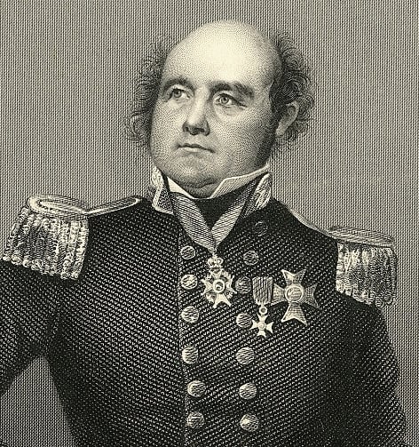
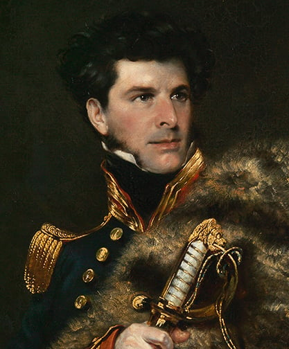
John Irving Mind Boggler: 31 Questions to Confound Your Brain
More Questions
What was the name of the island where the Franklin Expedition perished?
What was the primary goal of John Irving's explorations?
What was the primary scientific focus of the Franklin Expedition?
What was the primary mode of transportation for the Franklin Expedition?
What was the primary reason for John Irving's fame?

Subscribe Now!
Learn something
new everyday
Playing quizzes is free! We send 1 quiz every week to your inbox