How did John Speed's maps affect navigation?
They introduced longitude
They were used by sailors
They standardized map symbols
They improved accuracy
Answer
They improved accuracy by incorporating more detailed information and using a larger scale, making it easier for navigators to determine their location and plan their course. Speed's maps also included more landmarks and geographical features, providing additional reference points for navigation.

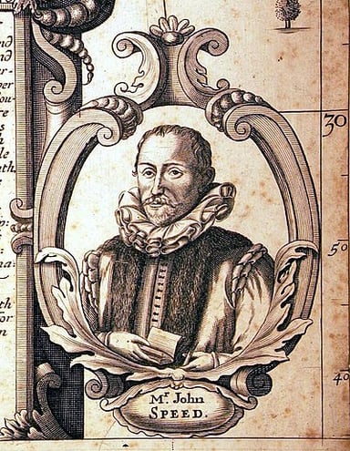
Mapping the Past: The John Speed Challenge
More Questions


Subscribe Now!
Learn something
new everyday
Playing quizzes is free! We send 1 quiz every week to your inbox