John Speed's work helped define the identity of which nation?
France
United States
Great Britain
Spain
Answer
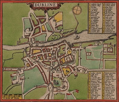
Great Britain's national identity was shaped by John Speed's work. His maps and atlases, published in the 16th and 17th centuries, depicted England, Scotland, and Wales as a unified entity, distinct from continental Europe. Speed's maps emphasized the country's geography, history, and culture, fostering a sense of national pride and unity among the British people.

Mapping the Past: The John Speed Challenge


Subscribe Now!
Learn something
new everyday
Playing quizzes is free! We send 1 quiz every week to your inbox