Piri Reis's map is the oldest known Turkish atlas showing which region?
Africa
Asia
The New World
Europe
Answer
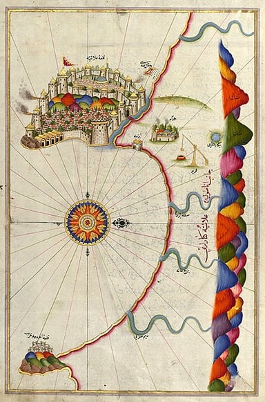
Piri Reis's map is the oldest known Turkish atlas showing The New World, which is the Americas. The map was drawn in 1513 and is based on information from Christopher Columbus's voyages. The map shows the coastlines of the Americas as well as some of the islands in the Caribbean Sea. It also shows the Azores and Madeira Islands, which are located off the coast of Africa.

Charting the Seas: Unraveling the Legacy of Piri Reis


Subscribe Now!
Learn something
new everyday
Playing quizzes is free! We send 1 quiz every week to your inbox