- Home
- / Piri Reis
- / What regions does Piri Reis's surviving fragment of his second world map display?
What regions does Piri Reis's surviving fragment of his second world map display?
China and India
Eastern Europe and Russia
Greenland and parts of North America
Africa and South America
Answer
Piri Reis's second world map was created in 1513. The surviving fragment displays the coasts of Africa, Europe, the Middle East, and part of North America. The map includes a detailed representation of Greenland, which is the earliest known European map to do so. The map also shows the coast of North America, including what is now Newfoundland, Labrador, and Nova Scotia.

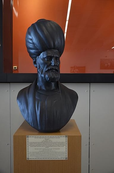
Charting the Seas: Unraveling the Legacy of Piri Reis


Subscribe Now!
Learn something
new everyday
Playing quizzes is free! We send 1 quiz every week to your inbox