What type of map did Shen Kuo create?
Celestial map
Political map
Relief map
Weather map
Answer
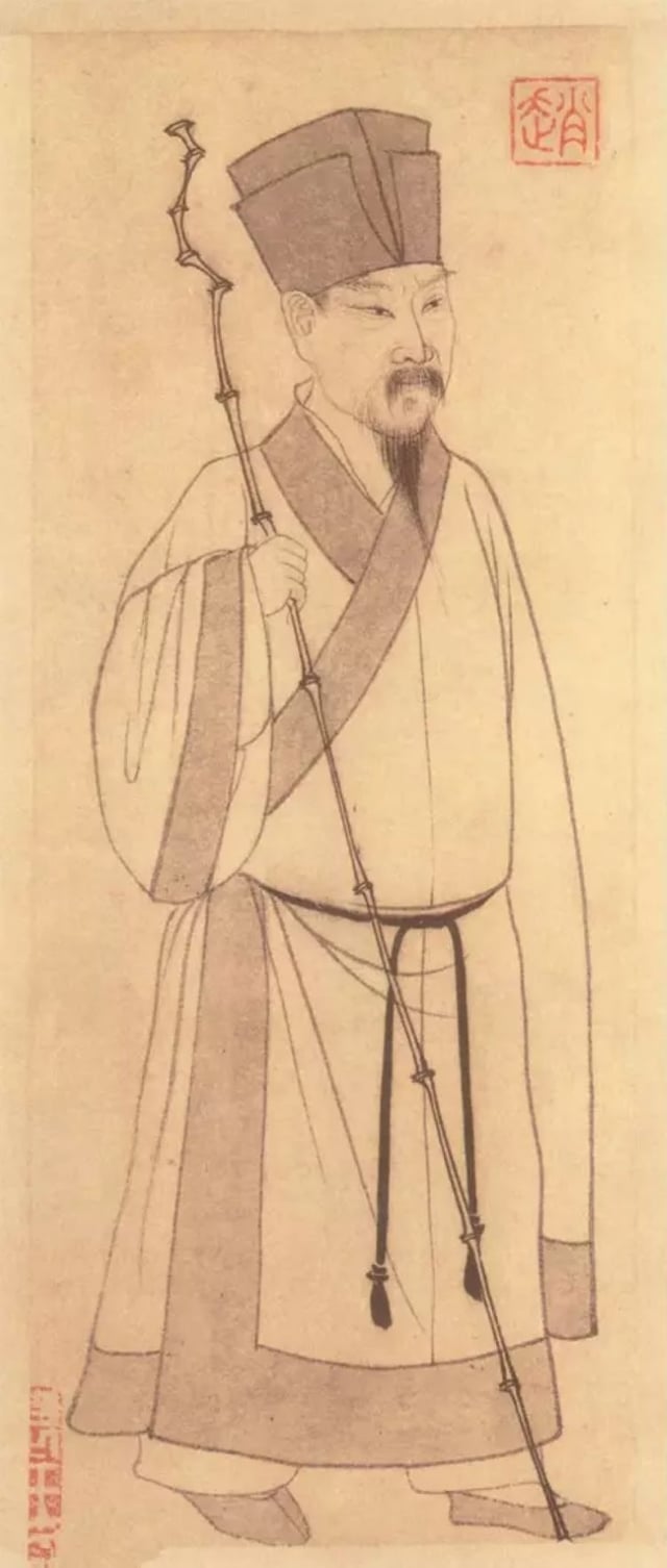
Relief maps, as created by Shen Kuo, provide a three-dimensional representation of landforms and terrain. Unlike traditional maps, they incorporate elevation data to depict the physical features and topography of the landscape. Shen Kuo's relief map, crafted during the 11th century, distinguished itself by utilizing contour lines, a significant advancement in cartography. Contour lines connect points of equal elevation, allowing viewers to visualize the variations in height across the map.
Unraveling the Brilliance: The Shen Kuo Quiz
Related Quizzes


Subscribe Now!
Learn something
new everyday
Playing quizzes is free! We send 1 quiz every week to your inbox